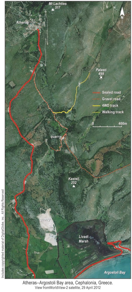
Satellite Maps
Excerpt from an 1890 map showing the limited roads that existed in the area at that time.
Atheras, Mt Lachties, Palasti, and Kasteli are shown.
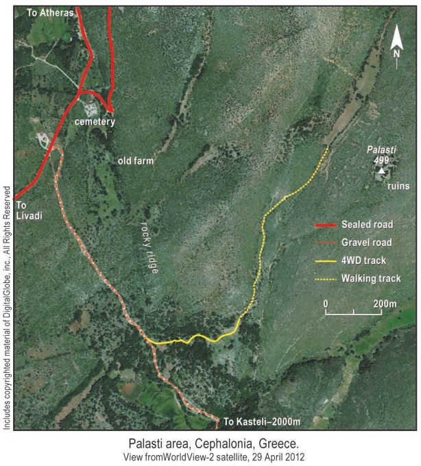
The walk from the cemetery to Palasti takes 45 minutes. At the end of the four-wheel-drive track, which ends at ruined farm buildings, the path ascends steeply between two derelict guard houses. With mountainside on one side and deep valley on the other, the position offers good protection to the hinterland: Palasti, its fields and water sources.
The walk from the cemetery to Kasteli takes about 60 minutes, depending on the route taken, through undergrowth and across ruined terraces to the summit.